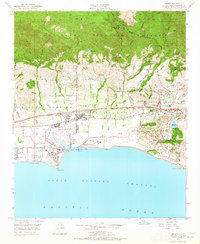
1950 Map of Goleta
USGS Topo · Published 1965About this map
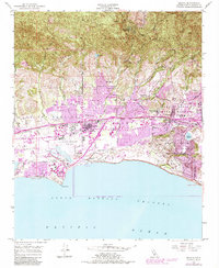
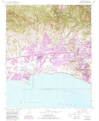
The coastal shelf of Goleta is captured here during a period of significant postwar institutional growth, as the University of California at Santa Barbara occupies its sprawling campus adjacent to the Santa Barbara Airport. The landscape is a mix of agricultural legacies and emerging residential developments, evidenced by the Los Dos Pueblos Lands of Santa Barbara and the wealthy enclave of Hope Ranch. Transport and water infrastructure are central to the area's layout, with the Southern Pacific railroad and a prominent aqueduct cutting through the foothills. From the Santa Ynez Mountains in the north, numerous creeks like San Jose Creek and Maria Ygnacio Creek drain toward the Goleta Slough and the Pacific Ocean. This survey reveals the transition of the region from ranching roots at Devereux Ranch to a modernized hub of education and aviation.
Find a feature on this map
50 named features on this map. Tap any name to fly to it.
Don’t see what you’re looking for? This feature index may not catch every label — zoom into the map to look around manually.
Map Details
Editions of this 1950 Goleta Map
6 editions found
Other maps of this area

1902 · Santa Ynez
USGS Topo · 1:125,000

1905 · Santa Ynez
USGS Topo · 1:125,000

1941 · San Rafael Mtn.
USGS Topo · 1:62,500

1942 · Goleta
USGS Topo · 1:62,500

1942 · San Rafael Mtn.
USGS Topo · 1:62,500

1942 · Little Pine Mountain
USGS Topo · 1:24,000

1943 · San Rafael Mtn.
USGS Topo · 1:62,500

1944 · Santa Barbara
USGS Topo · 1:31,680
1944 · Little Pine Mountain
USGS Topo · 1:31,680

1949 · Los Angeles
USGS Topo · 1:250,000