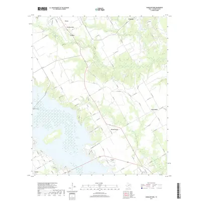
2019 Map of Goodlow Park
USGS Topo · Published 2019About this map
Lake Corsicana dominates the southwestern quadrant of this Navarro County landscape, its irregular shoreline reaching into the drainage basins of Alligator Cr and Long Arm Br. This modern geography is defined by a network of rural roads connecting small communities and family landmarks, such as Owens Cem and Petersburg Cem, which offer significant value for genealogical research in the area.
Find a feature on this map
95 named features on this map. Tap any name to fly to it.
Don’t see what you’re looking for? This feature index may not catch every label — zoom into the map to look around manually.
Map Details
Editions of this 2019 Goodlow Park Map
This is the sole edition of this map. No revisions or reprints were ever made.
Other maps of this area

1954 · Dallas
USGS Topo · 1:250,000

1954 · Waco
USGS Topo · 1:250,000

1955 · Waco
USGS Topo · 1:250,000

1958 · Dallas
USGS Topo · 1:250,000

1959 · Powell
USGS Topo · 1:24,000

1960 · Winkler
USGS Topo · 1:24,000

1960 · Streetman
USGS Topo · 1:24,000

1960 · Creslenn Ranch
USGS Topo · 1:24,000

1960 · Goodlow Park
USGS Topo · 1:24,000

1960 · Malakoff
USGS Topo · 1:24,000