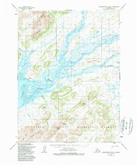
1954 Map of Goodnews Bay A-7
USGS Topo · Published 1984About this map
Goodnews Bay serves as the focal point for this mid-century survey, where the small settlement of Goodnews sits adjacent to a broad tidal flat. The landscape is dominated by a complex hydraulic network where the Goodnews River meets its Middle Fork and South Fork before emptying into the bay. The map documents early infrastructure in this part of Alaska, including a Landing Strip and two distinct routes: a Native Trail following the river and a Winter Trail navigating the lowlands.
Find a feature on this map
31 named features on this map. Tap any name to fly to it.
Don’t see what you’re looking for? This feature index may not catch every label — zoom into the map to look around manually.
Map Details
Editions of this 1954 Goodnews Bay A-7 Map
3 editions found
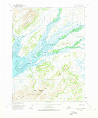
Other maps of this area

1950 · Hagemeister Island D-5
USGS Topo · 1:63,360

1951 · Goodnews
USGS Topo · 1:250,000

1951 · Hagemeister Island
USGS Topo · 1:250,000

1954 · Goodnews A-8
USGS Topo · 1:63,360

1954 · Goodnews B-7
USGS Topo · 1:63,360

1954 · Goodnews A-7
USGS Topo · 1:63,360

1954 · Goodnews B-8
USGS Topo · 1:63,360

1954 · Hagemeister Island D-5
USGS Topo · 1:63,360

1954 · Hagemeister Island D-4
USGS Topo · 1:63,360

1954 · Goodnews A-6
USGS Topo · 1:63,360