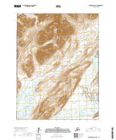
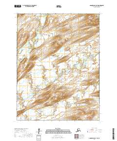
2017 Map of Goodnews Bay A-7 NW
USGS Topo · Published 2017About this map
Goodnews Bay sits at the southwestern edge of this landscape, where the tides of the Pacific Ocean meet a complex network of freshwater drainage. The terrain is defined by the winding course of the Tunulik River, which snakes across the central tundra, and the Goodnews River systems to the east. These waterways are flanked by prominent elevations such as Mumtrak Hill and the Kislapak Mountains, which provide clear landmarks in an otherwise saturated coastal environment. The mapping reveals a transitional wilderness where the Middle Fork Goodnews River and the S Fork Indian River carve through the foothills of peaks like Explorer Mtn and Chawekat Mtn. This intersection of high ground and river valleys reflects the traditional travel corridors and seasonal grounds used throughout the Bethel region.
Find a feature on this map
16 named features on this map. Tap any name to fly to it.
Don’t see what you’re looking for? This feature index may not catch every label — zoom into the map to look around manually.
Map Details
Editions of this 2017 Goodnews Bay A-7 NW Map
This is the sole edition of this map. No revisions or reprints were ever made.
Other maps of this area

1951 · Goodnews
USGS Topo · 1:250,000

1954 · Goodnews A-8
USGS Topo · 1:63,360

1954 · Goodnews B-7
USGS Topo · 1:63,360

1954 · Goodnews A-7
USGS Topo · 1:63,360

1954 · Goodnews B-8
USGS Topo · 1:63,360

1979 · Goodnews Bay
USGS Topo · 1:250,000
2017 · Goodnews Bay B-8 SE
USGS Topo · 1:25,000
2017 · Goodnews Bay A-7 SW
USGS Topo · 1:25,000
2017 · Goodnews Bay A-8 NE
USGS Topo · 1:25,000
2017 · Goodnews Bay A-7 NE
USGS Topo · 1:25,000