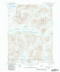
1979 Map of Goodnews Bay B-2
USGS Topo · Published 1983About this map
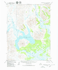
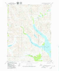
Togiak River and the Ongivinuck River converge in this remote southwestern Alaskan landscape, as documented during the late 1970s. The region is defined by its dramatic waterway network, where the Kulukak River and Ongoke River carve through high-relief topography. Significant portions of the map are preserved under federal status, including the Togiak National Wildlife Refuge and the dedicated Togiak Wilderness. This survey reflects a time of transition following the Alaska National Interest Lands Conservation Act, establishing a clear Wilderness Boundary across the southern reaches of the quadrangle. Aside from the descriptively named No Lake, the map emphasizes a roadless interior where drainage patterns and unnamed peaks dictate the movement of water and wildlife.
Find a feature on this map
9 named features on this map. Tap any name to fly to it.
Don’t see what you’re looking for? This feature index may not catch every label — zoom into the map to look around manually.
Map Details
Editions of this 1979 Goodnews Bay B-2 Map
2 editions found
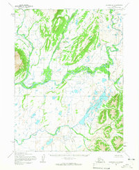
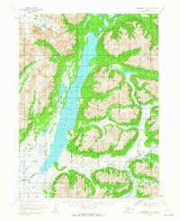
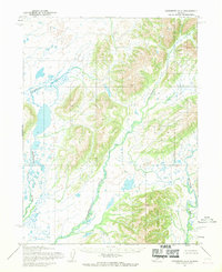
Other maps of this area

1951 · Goodnews
USGS Topo · 1:250,000
1954 · Goodnews B-3
USGS Topo · 1:63,360
1954 · Goodnews C-2
USGS Topo · 1:63,360
1954 · Goodnews A-3
USGS Topo · 1:63,360
1979 · Goodnews Bay A-1
USGS Topo · 1:63,360
1979 · Goodnews Bay B-2
USGS Topo · 1:63,360
1979 · Goodnews Bay C-3
USGS Topo · 1:63,360
1979 · Goodnews Bay B-1
USGS Topo · 1:63,360

1979 · Goodnews Bay
USGS Topo · 1:250,000
1979 · Goodnews Bay C-1
USGS Topo · 1:63,360