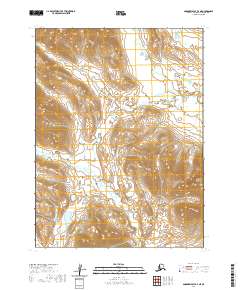
2020 Map of Goodnews Bay B-4 NE
USGS Topo · Published 2020About this map
The Kashaiak Mountains dominate the southeastern portion of this terrain in the Dillingham Census Area, representing a land defined by significant elevation changes and high-altitude drainage systems. The landscape is carved by the Nayorurun River, which flows through the northern and eastern sections of the quadrangle. This 2020 US Topo survey illustrates a wilderness area where the Public Land Survey System grids, including townships t8s r64w and t9s r65w, overlay a region devoid of permanent settlements or road infrastructure. The map serves as a primary record of the topographic relief and hydrography in this part of Alaska, capturing the complex contour patterns of the mountain slopes and the winding path of the river as it moves through the valleys.
Find a feature on this map
7 named features on this map. Tap any name to fly to it.
Don’t see what you’re looking for? This feature index may not catch every label — zoom into the map to look around manually.
Map Details
Editions of this 2020 Goodnews Bay B-4 NE Map
This is the sole edition of this map. No revisions or reprints were ever made.
Other maps of this area

1951 · Goodnews
USGS Topo · 1:250,000

1954 · Goodnews B-3
USGS Topo · 1:63,360

1954 · Goodnews C-4
USGS Topo · 1:63,360

1979 · Goodnews Bay C-3
USGS Topo · 1:63,360

1979 · Goodnews Bay
USGS Topo · 1:250,000
1979 · Goodnews Bay B-4
USGS Topo · 1:63,360
2019 · Goodnews Bay C-3 SW
USGS Topo · 1:25,000
2019 · Goodnews Bay B-3 SW
USGS Topo · 1:25,000
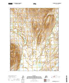
2019 · Goodnews Bay B-3 NW
USGS Topo · 1:25,000
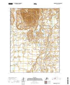
2020 · Goodnews Bay B-4 SE
USGS Topo · 1:25,000