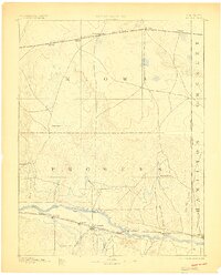
1894 Map of Granada
USGS Topo · Published 1900About this map
The Arkansas River corridor serves as the primary artery for settlement and commerce across this High Plains landscape surveyed in 1890. Along its banks, the Atchison Topeka & Santa Fe Railroad connects a string of frontier towns including Granada, Carlton, and Hollys. This transportation network contrasts with the northern portion of the map, where the Missouri Pacific Railroad passes through Sheridan Lake and Towner. Away from the rail lines, the presence of Ellis Ranch and Watsons Ranch reflects the region's early ranching roots, while numerous watercourses like Big Sandy Creek and Two Butte Creek carve through the dry terrain. The map also captures the Colorado Kansas Boundary Line, marking the transition between the two states as they were being formally organized and settled at the close of the nineteenth century.
Find a feature on this map
31 named features on this map. Tap any name to fly to it.
Don’t see what you’re looking for? This feature index may not catch every label — zoom into the map to look around manually.
Map Details
Editions of this 1894 Granada Map
4 editions found

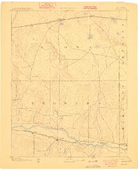
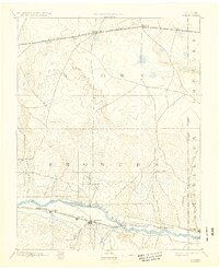
Other maps of this area

1890 · Granada
USGS Topo · 1:125,000

1891 · Albany
USGS Topo · 1:125,000

1891 · Kit Carson
USGS Topo · 1:125,000

1892 · Lamar
USGS Topo · 1:125,000

1892 · Cheyenne Wells
USGS Topo · 1:125,000

1892 · Granada
USGS Topo · 1:125,000

1892 · Two Butte
USGS Topo · 1:125,000

1893 · Kit Carson
USGS Topo · 1:125,000

1893 · Two Butte
USGS Topo · 1:125,000

1893 · Albany
USGS Topo · 1:125,000