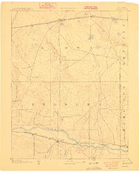
1894 Map of Granada
USGS Topo · Published 1910About this map
The Arkansas River valley serves as the primary corridor for settlement and transit across this high plains landscape at the close of the nineteenth century. Surveyed in 1890, the map illustrates two parallel systems of expansion: the Atchison Topeka & Santa Fe Railroad following the river through Granada and Hollys, and the Missouri Pacific Railroad crossing the northern territory through Sheridan Lake and Towner. This dual-rail infrastructure supported a network of small station stops like Arden, Manville, and Adana, which provided essential links for the region's ranching operations.
Find a feature on this map
31 named features on this map. Tap any name to fly to it.
Don’t see what you’re looking for? This feature index may not catch every label — zoom into the map to look around manually.
Map Details
Editions of this 1894 Granada Map
4 editions found

Other maps of this area

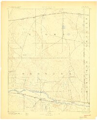
1890 · Granada
USGS Topo · 1:125,000

1891 · Albany
USGS Topo · 1:125,000

1891 · Kit Carson
USGS Topo · 1:125,000

1892 · Lamar
USGS Topo · 1:125,000

1892 · Cheyenne Wells
USGS Topo · 1:125,000

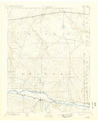
1892 · Granada
USGS Topo · 1:125,000

1892 · Two Butte
USGS Topo · 1:125,000

1893 · Kit Carson
USGS Topo · 1:125,000

1893 · Two Butte
USGS Topo · 1:125,000

1893 · Albany
USGS Topo · 1:125,000