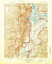
1901 Map of Grand Teton
USGS Topo · Published 1946About this map
The Teton Range dominates this late-19th-century survey, which was updated just after World War II to reflect the expanding protected lands of northwestern Wyoming. This edition integrates the boundaries of Grand Teton National Park and the Jackson Hole National Monument over the original 1899 topography. The landscape is defined by the high peaks of Grand Teton and Mt Owen looking down on Jackson Lake and the Snake River valley.
Find a feature on this map
84 named features on this map. Tap any name to fly to it.
Don’t see what you’re looking for? This feature index may not catch every label — zoom into the map to look around manually.
Map Details
Editions of this 1901 Grand Teton Map
4 editions found
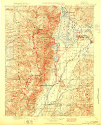
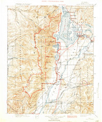
Other maps of this area

1885 · Lake
USGS Topo · 1:125,000

1886 · Shoshone
USGS Topo · 1:125,000

1888 · Shoshone
USGS Topo · 1:125,000

1895 · Shoshone
USGS Topo · 1:125,000

1895 · Lake
USGS Topo · 1:125,000

1896 · Lake
USGS Topo · 1:125,000

1899 · Grand Teton
USGS Topo · 1:125,000

1901 · Shoshone
USGS Topo · 1:125,000

1901 · Lake
USGS Topo · 1:125,000

1901 · Grand Teton
USGS Topo · 1:125,000