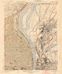
1940 Map of Granite City
USGS Topo · Published 1940About this map
The Mississippi River creates a massive natural divide between the industrial landscape of Granite City and the dense urban grid of north ST Louis. This 1940 edition captures the region's mid-century peak, characterized by a massive rail-and-river network involving the Chicago Burlington and Quincy Railroad and the Terminal Railroad association. Significant river features like Mosenthein Island and Gabaret Island split the main channel, while the eastern shore is dominated by the sprawling Stock Yards and the settlement of Brooklyn (Lovejoy PO). On the Missouri side, the map provides incredible detail for genealogists and urban historians, showing the vast grounds of Bellefontaine Cemetery and Calvary Cemetery, alongside landmarks such as St Louis University, the Jewish Home, and Sportsman Park. The intricate layering of municipal boundaries, including St Louis City and Madison County, highlights the complex political geography of this bi-state corridor.
Find a feature on this map
87 named features on this map. Tap any name to fly to it.
Don’t see what you’re looking for? This feature index may not catch every label — zoom into the map to look around manually.
Map Details
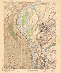
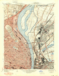
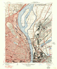
Editions of this 1940 Granite City Map
4 editions found
Other maps of this area

1888 · St. Louis
USGS Topo · 1:62,500

1927 · Alton
USGS Topo · 1:62,500

1927 · St. Charles
USGS Topo · 1:62,500

1931 · French Village
USGS Topo · 1:24,000

1933 · Granite City
USGS Topo · 1:24,000

1933 · Jefferson Barracks
USGS Topo · 1:24,000

1933 · Cahokia
USGS Topo · 1:24,000

1933 · Clayton
USGS Topo · 1:24,000

1933 · Saint Charles
USGS Topo · 1:62,500

1934 · Cahokia
USGS Topo · 1:24,000