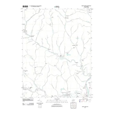
2011 Map of Grant Town
USGS Topo · Published 2011About this map
Grant Town and the surrounding coal-country settlements of Marion County are documented here as they appeared in the early 21st century. The landscape is defined by the winding course of Paw Paw Creek and its many tributaries, which supported industrial operations like the Consol Number Nine Slurry Impoundment Dam and the Eastern Gas and Fuel Lake. A dense network of cemeteries, including Saint Johns Cemetery, McCurdysville Cemetery, and the Hawkinberry Cemetery, reflects generations of family residency in rural communities like Basnettville, Baxter, and Dakota.
Find a feature on this map
130 named features on this map. Tap any name to fly to it.
Don’t see what you’re looking for? This feature index may not catch every label — zoom into the map to look around manually.
Map Details
Editions of this 2011 Grant Town Map
This is the sole edition of this map. No revisions or reprints were ever made.
Other maps of this area

1902 · Clarksburg
USGS Topo · 1:62,500

1902 · Fairmont
USGS Topo · 1:62,500

1904 · Blacksville
USGS Topo · 1:62,500

1905 · Mannington
USGS Topo · 1:62,500

1910 · Clarksburg
USGS Topo · 1:62,500

1923 · Blacksville
USGS Topo · 1:62,500

1923 · Fairmont
USGS Topo · 1:62,500

1923 · Mannington
USGS Topo · 1:62,500

1923 · Clarksburg
USGS Topo · 1:62,500

1925 · Blacksville
USGS Topo · 1:62,500