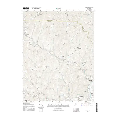
2014 Map of Grant Town
USGS Topo · Published 2014About this map
Buffalo Creek and the Monongahela River anchor the southern reach of this 2014 survey, where industrial footprints meet established residential communities like Barrackville, Grant Town, and Dakota. This region of the West Virginia coalfields is defined by a dense network of watercourses, including Paw Paw Creek and Flinchs Run, which dictate the winding paths of rural roads and the placement of older settlements. Genealogists will find a wealth of family-named landmarks and historical burial sites, such as Saint Johns Cem, Gilboa Cem, and the Ministers Cem. The map highlights important infrastructure like the Barrackville Covered Bridge and the Paw Paw Veterans Memorial Bridge, alongside the rail corridors of the B & O RR that supported the local economy. From Hagans in the north to the edge of Fairmont in the south, the landscape is a mosaic of steep hollows and narrow ridges.
Find a feature on this map
142 named features on this map. Tap any name to fly to it.
Don’t see what you’re looking for? This feature index may not catch every label — zoom into the map to look around manually.
Map Details
Editions of this 2014 Grant Town Map
This is the sole edition of this map. No revisions or reprints were ever made.
Other maps of this area

1902 · Clarksburg
USGS Topo · 1:62,500

1902 · Fairmont
USGS Topo · 1:62,500

1904 · Blacksville
USGS Topo · 1:62,500

1905 · Mannington
USGS Topo · 1:62,500

1910 · Clarksburg
USGS Topo · 1:62,500

1923 · Blacksville
USGS Topo · 1:62,500

1923 · Fairmont
USGS Topo · 1:62,500

1923 · Mannington
USGS Topo · 1:62,500

1923 · Clarksburg
USGS Topo · 1:62,500

1925 · Blacksville
USGS Topo · 1:62,500