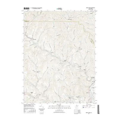
2016 Map of Grant Town
USGS Topo · Published 2016About this map
Grant Town serves as a central hub in this Marion County landscape, situated where Paw Paw Creek meanders through the hills. The area is defined by numerous small settlements and coal-era communities such as Baxter, Dakota, and Hoodsville, many connected by a dense network of country roads like McCurdyville Pike. A notable concentration of family and community burial grounds, including Gilboa Cem, Hawkinberry Cem, and Tennant Cem, suggests deep genealogical roots in the local hollows.
Find a feature on this map
156 named features on this map. Tap any name to fly to it.
Don’t see what you’re looking for? This feature index may not catch every label — zoom into the map to look around manually.
Map Details
Editions of this 2016 Grant Town Map
This is the sole edition of this map. No revisions or reprints were ever made.
Other maps of this area

1902 · Clarksburg
USGS Topo · 1:62,500

1902 · Fairmont
USGS Topo · 1:62,500

1904 · Blacksville
USGS Topo · 1:62,500

1905 · Mannington
USGS Topo · 1:62,500

1910 · Clarksburg
USGS Topo · 1:62,500

1923 · Blacksville
USGS Topo · 1:62,500

1923 · Fairmont
USGS Topo · 1:62,500

1923 · Mannington
USGS Topo · 1:62,500

1923 · Clarksburg
USGS Topo · 1:62,500

1925 · Blacksville
USGS Topo · 1:62,500