2023 Map of Grant Town
USGS Topo · Published 2023About this map
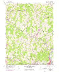
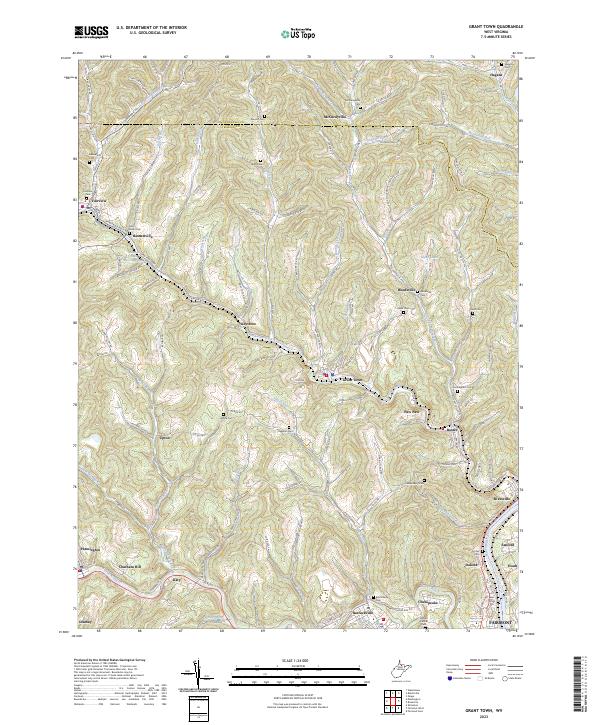
Grant Town and the neighboring settlements of northern West Virginia define this landscape at the intersection of Monongalia Co and Marion Co. The terrain is characterized by a dense network of hollows and runs, including Mays Hollow and Kennedy Hollow, which feed into larger arteries like Paw Paw Creek and the Monongahela River. For genealogists, the map is remarkably dense with family-named burial sites, such as Cunningham Cem, Freeland Cem, and Hawkinberry Cem, reflecting generations of local residency in the coal and river country near Rivesville and Fairmont. Settlement patterns follow the winding creek beds and narrow ridges, anchored by historic communities like Basnettville, Baxter, and Katy. Unique infrastructure, such as the Basnettville Public Water Supply Spring and the Edgar Ice Spring, indicates the importance of natural springs to the area's development before modern municipal expansions.
Find a feature on this map
160 named features on this map. Tap any name to fly to it.
Don’t see what you’re looking for? This feature index may not catch every label — zoom into the map to look around manually.
Map Details
Editions of this 2023 Grant Town Map
This is the sole edition of this map. No revisions or reprints were ever made.
Historical Maps of Fairmont Through Time
3 maps found