
1950 Map of Grantville
USGS Topo · Published 1964About this map
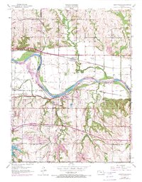
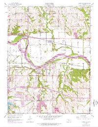
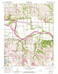
Kansas River bottomlands define this mid-century landscape, where the meandering waterway carves through the fertile valley at the junction of Shawnee and Jefferson counties. The 1950 survey reveals a rural economy transitioning into the post-war era, anchored by the Union Pacific and Atchison Topeka and Santa Fe railroads which parallel the river on either side. These rail corridors supported small shipping points and communities like Grantville and Tecumseh, while higher ground was dotted with a dense network of country schools such as Fairview Sch and Millikin Sch.
Find a feature on this map
42 named features on this map. Tap any name to fly to it.
Don’t see what you’re looking for? This feature index may not catch every label — zoom into the map to look around manually.
Map Details
Editions of this 1950 Grantville Map
4 editions found
Other maps of this area

1885 · Lawrence
USGS Topo · 1:125,000

1886 · Oskaloosa
USGS Topo · 1:125,000

1888 · Oskaloosa
USGS Topo · 1:125,000

1889 · Burlingame
USGS Topo · 1:125,000

1889 · Topeka
USGS Topo · 1:125,000

1889 · Lawrence
USGS Topo · 1:125,000

1894 · Burlingame
USGS Topo · 1:125,000

1894 · Oskaloosa
USGS Topo · 1:125,000

1894 · Topeka
USGS Topo · 1:125,000

1947 · Lawrence
USGS Topo · 1:250,000