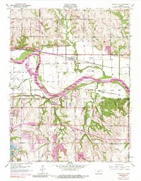
1950 Map of Grantville
USGS Topo · Published 1984About this map
The Kansas River winds through the heart of this mid-century landscape, separating the community of Grantville in the north from Tecumseh to the south. The industrial and transit corridor is well-defined by the competing lines of the Union Pacific and the Atchison Topeka and Santa Fe railroads, which parallel the river's course. Notable infrastructure includes a large Power Plant and Radio Station WREN, while the aviation sector is represented by the Billard Municipal Airport on the western edge of the sheet.
Find a feature on this map
35 named features on this map. Tap any name to fly to it.
Don’t see what you’re looking for? This feature index may not catch every label — zoom into the map to look around manually.
Map Details
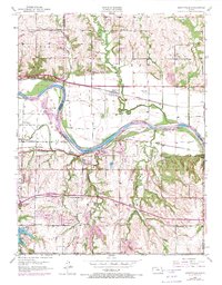
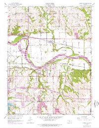
Editions of this 1950 Grantville Map
4 editions found

Other maps of this area

1885 · Lawrence
USGS Topo · 1:125,000

1886 · Oskaloosa
USGS Topo · 1:125,000

1888 · Oskaloosa
USGS Topo · 1:125,000

1889 · Burlingame
USGS Topo · 1:125,000

1889 · Topeka
USGS Topo · 1:125,000

1889 · Lawrence
USGS Topo · 1:125,000

1894 · Burlingame
USGS Topo · 1:125,000

1894 · Oskaloosa
USGS Topo · 1:125,000

1894 · Topeka
USGS Topo · 1:125,000

1947 · Lawrence
USGS Topo · 1:250,000