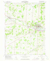
1961 Map of Granville
USGS Topo · Published 1975About this map
Granville serves as the academic and cultural anchor of this Licking County landscape, dominated by the campus of Denison Univ and surrounded by prominent landforms like Sugarloaf Hill and Parnassus Hill. The area's mid-century layout is defined by the heavy infrastructure of the Penn Central and Baltimore and Ohio railroads, which facilitated the movement of goods and people between smaller outposts like Alexandria and Union Station.
Find a feature on this map
37 named features on this map. Tap any name to fly to it.
Don’t see what you’re looking for? This feature index may not catch every label — zoom into the map to look around manually.
Map Details
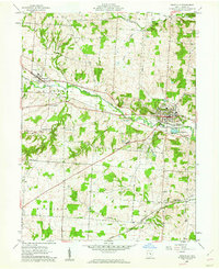
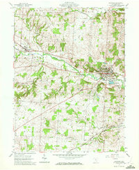
Editions of this 1961 Granville Map
Other maps of this area

1907 · Thurston
USGS Topo · 1:62,500

1908 · Granville
USGS Topo · 1:62,500

1909 · Newark
USGS Topo · 1:62,500

1909 · Thornville
USGS Topo · 1:62,500

1909 · Thurston
USGS Topo · 1:62,500

1910 · Granville
USGS Topo · 1:62,500

1947 · Columbus
USGS Topo · 1:250,000

1950 · Marion
USGS Topo · 1:250,000
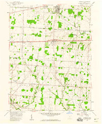
1958 · Pataskala
USGS Topo · 1:24,000

1961 · Columbus
USGS Topo · 1:250,000