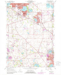
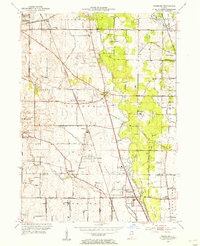
1960 Map of Grayslake
USGS Topo · Published 1989About this map
St Marys of the Lake Seminary anchors the southeastern landscape of this Lake County survey, which documents the residential expansion and recreational character of the region. The map tracks the growth of lakeside communities like Round Lake Beach and Grayslake, while showing the persistence of rural institutions such as School No 79 and the Avon Centre Cem. Transportation patterns are defined by the Chicago Milwaukee St Paul and Pacific and Soo Line railroads, which thread through the developing suburban fabric. The presence of specialized sites like the Campbell Airport and a Drive-in Theater reflects the mid-century transition from agrarian land to car-centric leisure. Extensive water bodies including Highland Lake, Diamond Lake, and Bangs Lake illustrate the area's geological identity, while numerous golf courses and the Fairground underscore its role as a regional destination for recreation.
Find a feature on this map
93 named features on this map. Tap any name to fly to it.
Don’t see what you’re looking for? This feature index may not catch every label — zoom into the map to look around manually.
Map Details
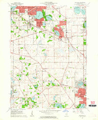
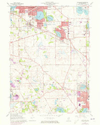
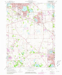
Editions of this 1960 Grayslake Map
4 editions found
Other maps of this area

1900 · Highwood
USGS Topo · 1:62,500

1906 · Waukegan
USGS Topo · 1:62,500

1908 · Waukegan
USGS Topo · 1:62,500

1920 · Grays Lake
USGS Topo · 1:62,500

1923 · Grays Lake
USGS Topo · 1:62,500

1923 · Barrington
USGS Topo · 1:62,500

1928 · Wheeling
USGS Topo · 1:24,000

1935 · Barrington
USGS Topo · 1:62,500
1953 · Wheeling
USGS Topo · 1:24,000

1954 · Rockford
USGS Topo · 1:250,000