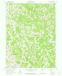
1960 Map of Graysville
USGS Topo · Published 1973About this map
The Little Muskingum River and its numerous tributaries, such as Knowlton Fork, define the deeply dissected landscape of Monroe County. In the early 1960s, this area remained largely rural, characterized by small hilltop settlements like Graysville and Sprague connected by winding ridge roads. The map reveals a land heavily utilized for natural resources, evidenced by the high density of Gas Well sites scattered across nearly every township.
Find a feature on this map
91 named features on this map. Tap any name to fly to it.
Don’t see what you’re looking for? This feature index may not catch every label — zoom into the map to look around manually.
Map Details
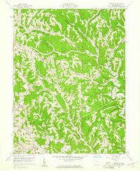
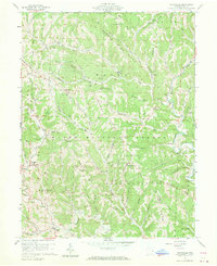
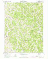
Editions of this 1960 Graysville Map
4 editions found
Other maps of this area

1903 · Macksburg
USGS Topo · 1:62,500

1905 · New Matamoras
USGS Topo · 1:62,500

1905 · Woodsfield
USGS Topo · 1:62,500

1905 · Macksburg
USGS Topo · 1:62,500

1909 · Summerfield
USGS Topo · 1:62,500

1911 · Summerfield
USGS Topo · 1:62,500

1924 · New Matamoras
USGS Topo · 1:62,500

1926 · New Matamoras
USGS Topo · 1:62,500

1949 · Clarksburg
USGS Topo · 1:250,000

1956 · Clarksburg
USGS Topo · 1:250,000