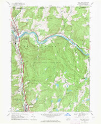
1968 Map of Great Bend
USGS Topo · Published 1971About this map
The Susquehanna River carves a massive horseshoe bend through the northern Pennsylvania highlands, defining the dual settlements of Great Bend and Hallstead. This late-1960s landscape is characterized by the convergence of major transportation corridors, with the Erie-Lackawanna railroad and modern highways following the narrow valleys of Salt Lick Creek and the river. The topography rises sharply from the Island Plain to prominent summits like Maunatome Mtn and Smokey Mtn, which remain largely undeveloped as part of State Game Lands No 35.
Find a feature on this map
50 named features on this map. Tap any name to fly to it.
Don’t see what you’re looking for? This feature index may not catch every label — zoom into the map to look around manually.
Map Details
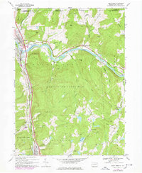
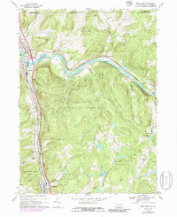
Editions of this 1968 Great Bend Map
3 editions found
Other maps of this area

1904 · Binghamton
USGS Topo · 1:62,500

1905 · Nineveh
USGS Topo · 1:62,500

1932 · Susquehanna
USGS Topo · 1:62,500

1935 · Susquehanna
USGS Topo · 1:62,500

1937 · Binghamton East
USGS Topo · 1:24,000

1942 · Binghamton East
USGS Topo · 1:31,680

1943 · Montrose
USGS Topo · 1:62,500

1945 · Montrose
USGS Topo · 1:62,500

1948 · Binghamton
USGS Topo · 1:250,000

1950 · Binghamton
USGS Topo · 1:250,000