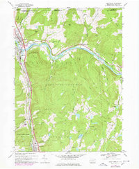
1968 Map of Great Bend
USGS Topo · Published 1978About this map
The Susquehanna River defines the landscape of this northern Pennsylvania border region, executing its namesake curve through the borough of Great Bend. Flanked by Maunatome Mtn and Hogback Hill, the river corridor serves as a vital transportation artery for the Conrail rail line and primary roadways. The area south of the river is dominated by the expansive State Game Lands No 35, a heavily forested upland drained by Mitchell Creek and Deacon Brook.
Find a feature on this map
50 named features on this map. Tap any name to fly to it.
Don’t see what you’re looking for? This feature index may not catch every label — zoom into the map to look around manually.
Map Details
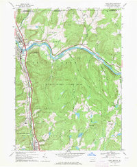
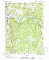
Editions of this 1968 Great Bend Map
3 editions found
Other maps of this area

1904 · Binghamton
USGS Topo · 1:62,500

1905 · Nineveh
USGS Topo · 1:62,500

1932 · Susquehanna
USGS Topo · 1:62,500

1935 · Susquehanna
USGS Topo · 1:62,500

1937 · Binghamton East
USGS Topo · 1:24,000

1942 · Binghamton East
USGS Topo · 1:31,680

1943 · Montrose
USGS Topo · 1:62,500

1945 · Montrose
USGS Topo · 1:62,500

1948 · Binghamton
USGS Topo · 1:250,000

1950 · Binghamton
USGS Topo · 1:250,000