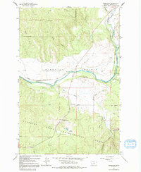
1965 Map of Greenough
USGS Topo · Published 1992About this map
Ninemile Prairie opens up along the corridor where the Blackfoot River and Clearwater River meet, forming a landscape shaped by timber management and early transportation routes. The 1960s terrain is heavily defined by the boundaries of the Lolo National Forest and the Lubrecht State Experimental Forest, where Lubrecht Camp serves as a hub for research and forestry operations. Small settlements and local landmarks point to the area's rural character, including the Greenough PO and the Sunset Sch located near the base of Sunset Hill.
Find a feature on this map
30 named features on this map. Tap any name to fly to it.
Don’t see what you’re looking for? This feature index may not catch every label — zoom into the map to look around manually.
Map Details
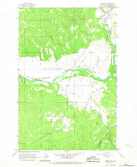
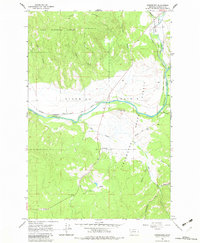
Editions of this 1965 Greenough Map
3 editions found
Other maps of this area

1902 · Ovando
USGS Topo · 1:125,000

1903 · Bonner
USGS Topo · 1:125,000

1905 · Ovando
USGS Topo · 1:125,000

1919 · Drummond
USGS Topo · 1:125,000

1921 · Drummond
USGS Topo · 1:125,000

1921 · Elbow Lake
USGS Topo · 1:125,000

1947 · Butte
USGS Topo · 1:250,000

1955 · Choteau
USGS Topo · 1:250,000

1957 · Choteau
USGS Topo · 1:250,000

1958 · Butte
USGS Topo · 1:250,000