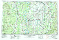
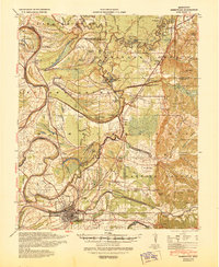
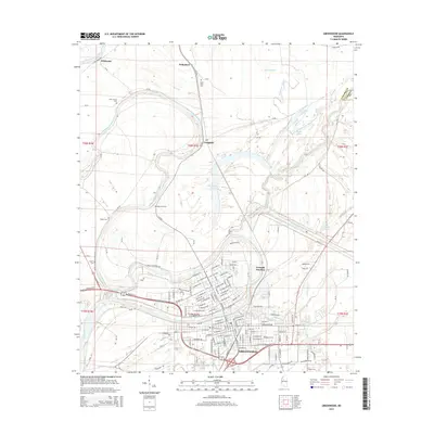
1953 Map of Greenwood
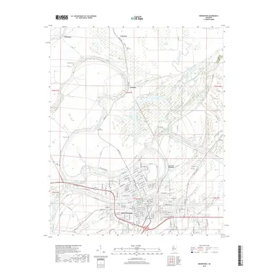
USGS Topo · Published 1986About this map
The Mississippi River and its labyrinthine tributaries dominate this mid-century landscape, defining a region where water and rail dictate the pattern of human settlement. From the Yazoo River in the east to the Arkansas River in the west, the map details a complex network of bayous, chutes, and oxbow lakes like Lake Chicot and Lake Washington. These waterways are flanked by significant conservation areas, including the White River National Wildlife Refuge and Yazoo National Wildlife Refuge.
Find a feature on this map
142 named features on this map. Tap any name to fly to it.
Don’t see what you’re looking for? This feature index may not catch every label — zoom into the map to look around manually.
Map Details
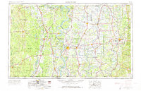
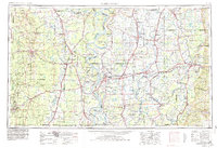
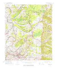
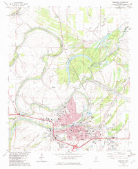
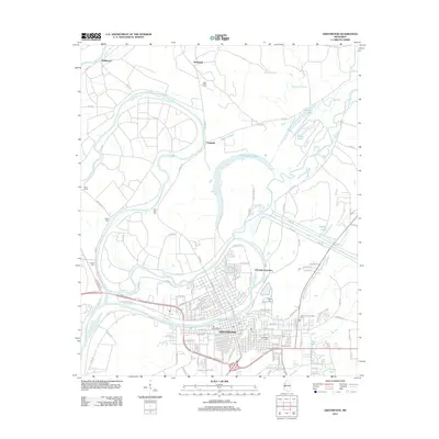
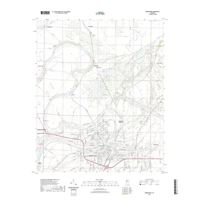
Editions of this 1953 Greenwood Map
5 editions found

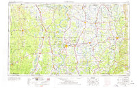
Historical Maps of Greenville Through Time
12 maps found

1936 Greenwood
Leflore County, MS
1940 Greenwood
Leflore County, MS
1953 Greenwood
Leflore County, MS

1956 Greenwood
Leflore County, MS
1957 Greenwood
Leflore County, MS
1982 Greenwood
Leflore County, MS

1983 Greenwood
Leflore County, MS
2012 Greenwood
Leflore County, MS
2015 Greenwood
Leflore County, MS
2018 Greenwood
Leflore County, MS
2020 Greenwood
Leflore County, MS
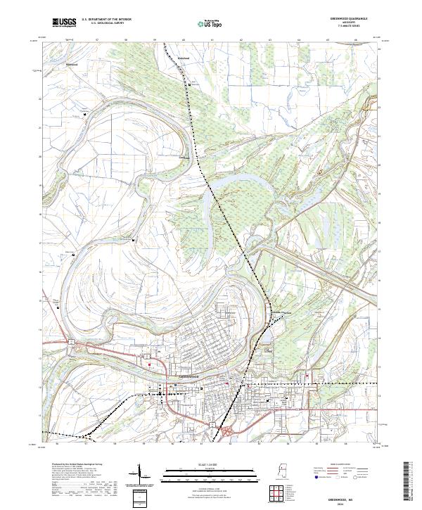
2024 Greenwood
Leflore County, MS