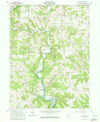
1961 Map of Greer
USGS Topo · Published 1972About this map
Mohican River waters dominate this 1961 record of the rugged borderlands between Ashland, Holmes, and Knox Counties. The landscape is defined by the confluence of the Black Fork Mohican River and Lake Fork, a network that shaped early commerce and settlement patterns in the region. The map reveals a high concentration of small family and community burial grounds, including Stout Cem and Harding Cem, which provide essential points of reference for genealogical research. Significant historical boundaries are clearly marked, most notably the Greenville Treaty Line, which cuts across the central terrain. While small hamlets like Spellacy and Greer persist along the riverbanks, the presence of Peaceful Valley Camp and Camp Bethany suggests a mid-century shift toward recreational land use in these river valleys.
Find a feature on this map
28 named features on this map. Tap any name to fly to it.
Don’t see what you’re looking for? This feature index may not catch every label — zoom into the map to look around manually.
Map Details
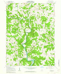
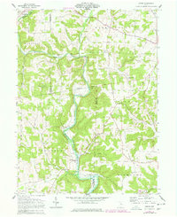
Editions of this 1961 Greer Map
Other maps of this area

1912 · Loudonville
USGS Topo · 1:62,500

1912 · Gambier
USGS Topo · 1:62,500

1912 · Perrysville
USGS Topo · 1:62,500

1913 · Brinkhaven
USGS Topo · 1:62,500

1914 · Gambier
USGS Topo · 1:62,500

1914 · Loudonville
USGS Topo · 1:62,500

1915 · Brinkhaven
USGS Topo · 1:62,500

1915 · Perrysville
USGS Topo · 1:62,500

1943 · Gambier
USGS Topo · 1:62,500

1943 · Loudonville
USGS Topo · 1:62,500