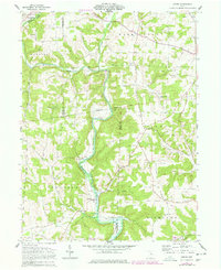
1961 Map of Greer
USGS Topo · Published 1978About this map
The Mohican River and the Black Fork Mohican River converge in this pocket of the Ohio countryside, where the boundaries of Ashland, Holmes, and Knox counties meet. The landscape is defined by the prominent Kaylor Ridge and the historic Greenville Treaty Line, which cuts across the central terrain. Small settlements and rural hubs like Greer, Sigafoos, and Spellacy serve as focal points for local history researchers, while the Pennsylvania rail line tracks the river valley's natural contours.
Find a feature on this map
30 named features on this map. Tap any name to fly to it.
Don’t see what you’re looking for? This feature index may not catch every label — zoom into the map to look around manually.
Map Details
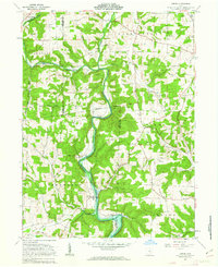
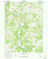
Editions of this 1961 Greer Map
Other maps of this area

1912 · Loudonville
USGS Topo · 1:62,500

1912 · Gambier
USGS Topo · 1:62,500

1912 · Perrysville
USGS Topo · 1:62,500

1913 · Brinkhaven
USGS Topo · 1:62,500

1914 · Gambier
USGS Topo · 1:62,500

1914 · Loudonville
USGS Topo · 1:62,500

1915 · Brinkhaven
USGS Topo · 1:62,500

1915 · Perrysville
USGS Topo · 1:62,500

1943 · Gambier
USGS Topo · 1:62,500

1943 · Loudonville
USGS Topo · 1:62,500