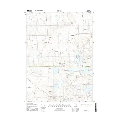
2014 Map of Gregory
USGS Topo · Published 2014About this map
Gregory and the surrounding townships of Livingston and Washtenaw counties are defined by a glacial landscape of kettle lakes and low hills. The small settlements of Unadilla, Williamsville, and Anderson are scattered across this terrain, connected by rural routes like M-36 and Doyle Rd. The density of cemeteries, including Plainfield Village Cem and the Collins Plains Cem, provides a map for genealogists tracing early families in the area.
Find a feature on this map
119 named features on this map. Tap any name to fly to it.
Don’t see what you’re looking for? This feature index may not catch every label — zoom into the map to look around manually.
Map Details
Editions of this 2014 Gregory Map
This is the sole edition of this map. No revisions or reprints were ever made.
Other maps of this area

1902 · Dexter
USGS Topo · 1:62,500

1904 · Ann Arbor
USGS Topo · 1:125,000

1906 · Dexter
USGS Topo · 1:62,500

1907 · Howell
USGS Topo · 1:62,500

1908 · Ann Arbor
USGS Topo · 1:125,000

1908 · Fowlerville
USGS Topo · 1:62,500

1909 · Howell
USGS Topo · 1:62,500

1910 · Fowlerville
USGS Topo · 1:62,500

1919 · Stockbridge
USGS Topo · 1:62,500

1922 · Stockbridge
USGS Topo · 1:62,500
Featured Places
- Putnam Township, MI
- Dexter Township, MI
- Unadilla, Unadilla Township
- Unadilla Township, MI
- Lyndon Township, MI