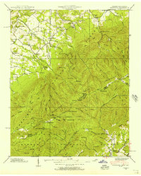
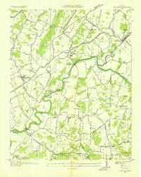
1939 Map of Greystone
USGS Topo · Published 1956About this map
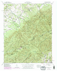
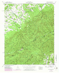
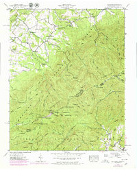
Greystone and its neighboring rural communities occupy this high-elevation landscape along the state line just before mid-century. The topography is defined by the Bald Mountains, where the Appalachian Trail follows the ridge through Bearwallow Gap and across Camp Creek Bald, which is marked by a prominent Lookout Tower. This terrain is dotted with small-scale industry and community life, featuring both Hampton Mill and Water Fork Mill, alongside several country schools like Dobson Sch and Horse Creek Sch.
Find a feature on this map
107 named features on this map. Tap any name to fly to it.
Don’t see what you’re looking for? This feature index may not catch every label — zoom into the map to look around manually.
Map Details
Editions of this 1939 Greystone Map
7 editions found
Other maps of this area

1892 · Greeneville
USGS Topo · 1:125,000

1894 · Asheville
USGS Topo · 1:125,000

1896 · Greeneville
USGS Topo · 1:125,000

1901 · Asheville
USGS Topo · 1:125,000

1904 · Greeneville
USGS Topo · 1:125,000

1935 · Hot Springs
USGS Topo · 1:24,000

1936 · Greystone
USGS Topo · 1:24,000

1936 · Sams Gap
USGS Topo · 1:24,000
1936 · Lake Davy Crockett
USGS Topo · 1:24,000
1936 · Chuckey
USGS Topo · 1:24,000