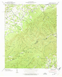
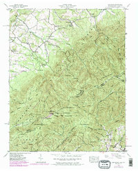
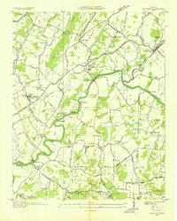
1939 Map of Greystone
USGS Topo · Published 1974About this map
The Appalachian Trail snakes along the crest of the Bald Mtn ridge in 1939, marking the high-altitude boundary between Greene County, Tennessee, and Madison County, North Carolina. This high-country landscape is defined by its isolation and the distribution of small religious and educational centers at the mountain's base, such as Mountain View Ch, Gethsemane Ch, and the Horse Creek Sch. The settlement of Greystone serves as a local hub near Jennings Creek, while more remote reaches of the Unaka National Forest and Pisgah National Forest are punctuated by simple dwellings like Doak Cabin, Fox Cabin, and Jerry Cabin. The presence of the Camp Creek Bald Lookout Tower and multiple campgrounds like Round Knob Campground indicates the early 20th-century development of the region for fire observation and forest recreation. Notable local landmarks like Hampton Mill and Shelton Mission provide specific points of interest for those tracing family history or early mountain industry.
Find a feature on this map
112 named features on this map. Tap any name to fly to it.
Don’t see what you’re looking for? This feature index may not catch every label — zoom into the map to look around manually.
Map Details
Editions of this 1939 Greystone Map
7 editions found
Other maps of this area

1892 · Greeneville
USGS Topo · 1:125,000

1894 · Asheville
USGS Topo · 1:125,000

1896 · Greeneville
USGS Topo · 1:125,000

1901 · Asheville
USGS Topo · 1:125,000

1904 · Greeneville
USGS Topo · 1:125,000

1935 · Hot Springs
USGS Topo · 1:24,000

1936 · Greystone
USGS Topo · 1:24,000

1936 · Sams Gap
USGS Topo · 1:24,000
1936 · Lake Davy Crockett
USGS Topo · 1:24,000
1936 · Chuckey
USGS Topo · 1:24,000