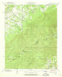
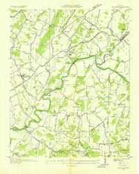
1939 Map of Greystone
USGS Topo · Published 1968About this map
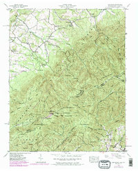
The settlement of Greystone and the rural community of Bethany anchor this 1939 survey, situated along the base of the Bald Mountains. The landscape is a mix of small-scale agriculture and timbered slopes, evidenced by Hampton Mill on Middle Creek and several rural institutions including Gethsemane Ch, Mountain View Ch, and Mt Tabor Ch. Remote cabins like Doak Cabin, Fox Cabin, and Kennedy Cabin are scattered across the ridges, providing a record of habitation in the higher elevations before modern development.
Find a feature on this map
112 named features on this map. Tap any name to fly to it.
Don’t see what you’re looking for? This feature index may not catch every label — zoom into the map to look around manually.
Map Details
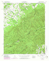
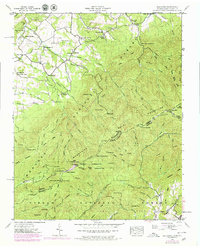
Editions of this 1939 Greystone Map
7 editions found
Other maps of this area

1892 · Greeneville
USGS Topo · 1:125,000

1894 · Asheville
USGS Topo · 1:125,000

1896 · Greeneville
USGS Topo · 1:125,000

1901 · Asheville
USGS Topo · 1:125,000

1904 · Greeneville
USGS Topo · 1:125,000

1935 · Hot Springs
USGS Topo · 1:24,000

1936 · Greystone
USGS Topo · 1:24,000

1936 · Sams Gap
USGS Topo · 1:24,000
1936 · Lake Davy Crockett
USGS Topo · 1:24,000
1936 · Chuckey
USGS Topo · 1:24,000