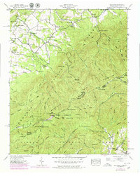
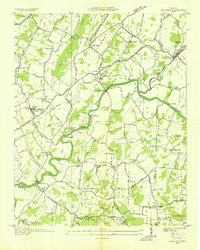
1939 Map of Greystone
USGS Topo · Published 1979About this map
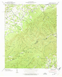
Greystone and its neighboring rural crossroads define the settlement patterns along the mountain slopes of the Tennessee-North Carolina border. In the late 1930s, this area supported several country churches, including Mountain View Ch, Gethsemane Ch, and Mt Tabor Ch, alongside local schools like Dobson Sch and Horse Creek Sch. The presence of Water Fork Mill and Hampton Mill suggests a local economy still tied to water-powered industry during this era.
Find a feature on this map
124 named features on this map. Tap any name to fly to it.
Don’t see what you’re looking for? This feature index may not catch every label — zoom into the map to look around manually.
Map Details
Editions of this 1939 Greystone Map
7 editions found
Other maps of this area

1892 · Greeneville
USGS Topo · 1:125,000

1894 · Asheville
USGS Topo · 1:125,000

1896 · Greeneville
USGS Topo · 1:125,000

1901 · Asheville
USGS Topo · 1:125,000

1904 · Greeneville
USGS Topo · 1:125,000

1935 · Hot Springs
USGS Topo · 1:24,000

1936 · Greystone
USGS Topo · 1:24,000

1936 · Sams Gap
USGS Topo · 1:24,000
1936 · Lake Davy Crockett
USGS Topo · 1:24,000
1936 · Chuckey
USGS Topo · 1:24,000