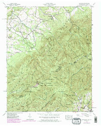
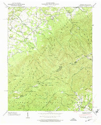
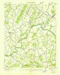
1939 Map of Greystone
USGS Topo · Published 1979About this map
Greystone and its neighboring rural communities are defined by the sharp transition from the rolling valley floors to the high ridges of the Cherokee National Forest and Pisgah National Forest. Small mountain life is evidenced by the density of community institutions like Gethsemane Ch, Mountain View Ch, and Dobson Sch. The landscape is etched with the memory of early industry and habitation, from the Water Fork Mill in the north to isolated cabins such as Fox Cabin and Jerry Cabin in the higher elevations. The state boundary between Tennessee and North Carolina follows the spine of the mountains, crossing prominent peaks like Big Firescald Knob and Bald Mtn. The Appalachian Trail winds along this divide, connecting remote points like Jones Meadow and providing access to the Lookout Tower on Camp Creek Bald.
Find a feature on this map
101 named features on this map. Tap any name to fly to it.
Don’t see what you’re looking for? This feature index may not catch every label — zoom into the map to look around manually.
Map Details
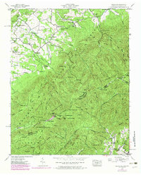
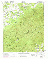
Editions of this 1939 Greystone Map
7 editions found
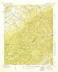
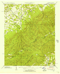
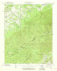
Other maps of this area

1892 · Greeneville
USGS Topo · 1:125,000

1894 · Asheville
USGS Topo · 1:125,000

1896 · Greeneville
USGS Topo · 1:125,000

1901 · Asheville
USGS Topo · 1:125,000

1904 · Greeneville
USGS Topo · 1:125,000

1935 · Hot Springs
USGS Topo · 1:24,000

1936 · Greystone
USGS Topo · 1:24,000

1936 · Sams Gap
USGS Topo · 1:24,000
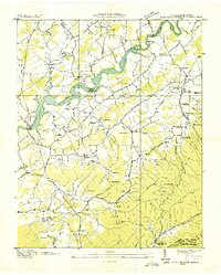
1936 · Lake Davy Crockett
USGS Topo · 1:24,000
1936 · Chuckey
USGS Topo · 1:24,000