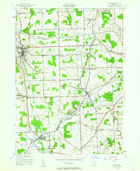
1942 Map of Groton
USGS Topo · Published 1962About this map
Freeville and the George Junior Republic occupy the southern reaches of this landscape, where the Lehigh Valley railroad tracks bisect the village. The terrain is defined by a dense network of crossroads settlements and numbered rural school districts, reflecting a deeply established agricultural and educational infrastructure during the early 1940s. Waterways like Fall Creek and Virgil Creek wind through the valleys, supporting small industrial pockets such as Red Mills and the hamlet of Malloryville.
Find a feature on this map
63 named features on this map. Tap any name to fly to it.
Don’t see what you’re looking for? This feature index may not catch every label — zoom into the map to look around manually.
Map Details
Editions of this 1942 Groton Map
2 editions found
Other maps of this area

1898 · Moravia
USGS Topo · 1:62,500

1900 · Dryden
USGS Topo · 1:62,500

1902 · Moravia
USGS Topo · 1:62,500

1903 · Cortland
USGS Topo · 1:62,500

1903 · Harford
USGS Topo · 1:62,500

1906 · Catatonk
USGS Topo · 1:125,000

1942 · Groton
USGS Topo · 1:24,000

1943 · Moravia
USGS Topo · 1:31,680

1943 · West Groton
USGS Topo · 1:31,680

1943 · Groton
USGS Topo · 1:31,680