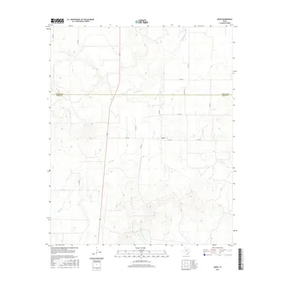
2016 Map of Grow
USGS Topo · Published 2016About this map
Grow serves as the central hub of this West Texas landscape, positioned at the intersection of FM 1168 and Co RD 237. The area is defined by the winding drainages of the Wichita River system, including the N Wichita River in the north and the Middle Fork Wichita River to the south. This 2016 survey documents a rural environment where ranch roads and farm-to-market routes like FM 193 and FM 3416 provide the primary infrastructure across the rolling plains. The map clearly delineates the administrative boundary between Cottle Co and King Co, illustrating the spatial relationship between these two counties. Local water features such as Buford Br and Farrer Cr indicate the natural drainage patterns that have likely influenced land use and settlement in this part of the Rolling Plains region for generations.
Find a feature on this map
19 named features on this map. Tap any name to fly to it.
Don’t see what you’re looking for? This feature index may not catch every label — zoom into the map to look around manually.
Map Details
Editions of this 2016 Grow Map
This is the sole edition of this map. No revisions or reprints were ever made.
Other maps of this area

1954 · Lubbock
USGS Topo · 1:250,000
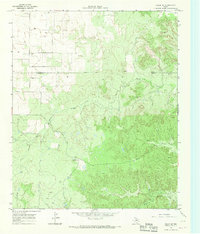
1966 · Chalk SW
USGS Topo · 1:24,000
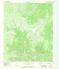
1966 · J Y Ranch
USGS Topo · 1:24,000
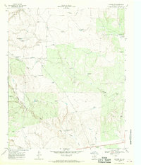
1967 · Guthrie NW
USGS Topo · 1:24,000
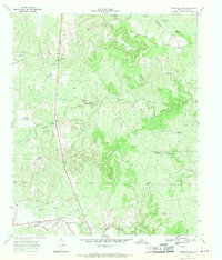
1967 · Fourmile Hill
USGS Topo · 1:24,000
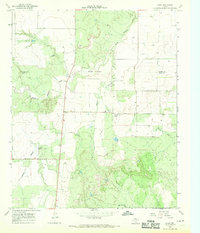
1968 · Grow
USGS Topo · 1:24,000
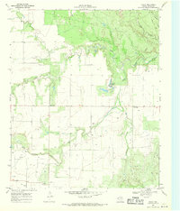
1968 · Chalk
USGS Topo · 1:24,000
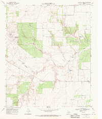
1968 · Buffalo Creek
USGS Topo · 1:24,000
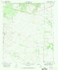
1968 · Grow NW
USGS Topo · 1:24,000
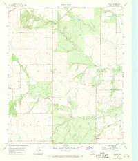
1968 · Ginsite
USGS Topo · 1:24,000