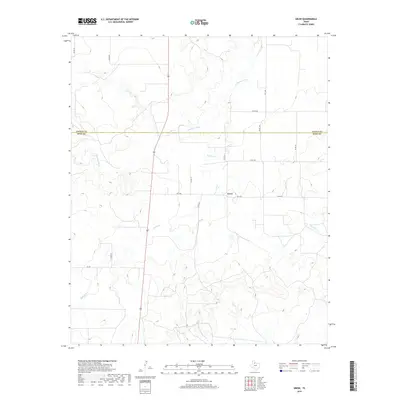
2019 Map of Grow
USGS Topo · Published 2019About this map
Grow serves as the primary focal point of this rural Texas landscape, situated in King County just south of the boundary with Cottle Co. The geography is defined by a complex drainage system where the N Wichita River meanders across the northern section and the Middle Fork Wichita River cuts through the southern reaches. This modern topographic record illustrates a remote ranching and agricultural region where transportation relies on a network of Farm to Market roads like FM 1168 and FM 193. The terrain is marked by significant hydrological features, including Buford Br and Farrer Cr, which have shaped the local topography into a series of draws and ridges. Local transit and land access are further detailed through numerous county roads such as Co RD 237 and Co RD 460, which connect isolated homesteads and ranch properties across the county line.
Find a feature on this map
18 named features on this map. Tap any name to fly to it.
Don’t see what you’re looking for? This feature index may not catch every label — zoom into the map to look around manually.
Map Details
Editions of this 2019 Grow Map
This is the sole edition of this map. No revisions or reprints were ever made.
Other maps of this area

1954 · Lubbock
USGS Topo · 1:250,000
1966 · Chalk SW
USGS Topo · 1:24,000
1966 · J Y Ranch
USGS Topo · 1:24,000
1967 · Guthrie NW
USGS Topo · 1:24,000
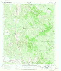
1967 · Fourmile Hill
USGS Topo · 1:24,000
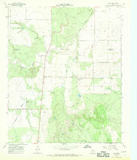
1968 · Grow
USGS Topo · 1:24,000
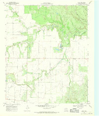
1968 · Chalk
USGS Topo · 1:24,000
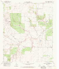
1968 · Buffalo Creek
USGS Topo · 1:24,000
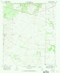
1968 · Grow NW
USGS Topo · 1:24,000
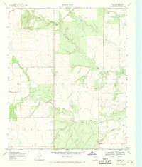
1968 · Ginsite
USGS Topo · 1:24,000