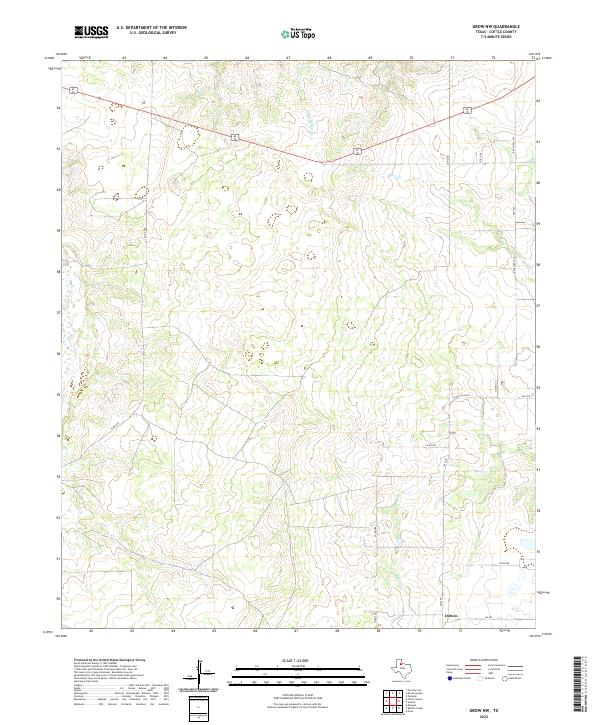
2022 Map of Grow NW
USGS Topo · Published 2022About this map
Delwin serves as a central landmark in this portion of Cottle County, where a network of county roads and ranch-to-market routes crisscross the rolling landscape. The drainage patterns of the Rolling Plains are clearly defined by the paths of Buck Cr and S Buck Cr in the east, while Mesa Cr and Camp Hollow Cr carve through the northern terrain. This survey illustrates the modern rural infrastructure of the region, emphasizing the connectivity between remote properties via routes like Co RD 290 and FM 2278. The map documents the physical geography of the area, showing the elevation changes and seasonal watercourses that have historically influenced land use and settlement in this part of Northwest Texas.
Find a feature on this map
17 named features on this map. Tap any name to fly to it.
Don’t see what you’re looking for? This feature index may not catch every label — zoom into the map to look around manually.
Map Details
Editions of this 2022 Grow NW Map
This is the sole edition of this map. No revisions or reprints were ever made.
Other maps of this area

1954 · Lubbock
USGS Topo · 1:250,000

1954 · Plainview
USGS Topo · 1:250,000

1958 · Plainview
USGS Topo · 1:250,000

1966 · Tee Pee City
USGS Topo · 1:24,000

1966 · Devils Canyon
USGS Topo · 1:24,000

1967 · Paducah
USGS Topo · 1:24,000

1968 · Grow
USGS Topo · 1:24,000

1968 · Buffalo Creek
USGS Topo · 1:24,000

1968 · Grow NW
USGS Topo · 1:24,000

1968 · Dumont
USGS Topo · 1:24,000