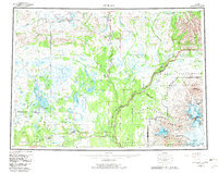
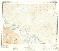
1959 Map of Gulkana
USGS Topo · Published 1966About this map
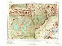
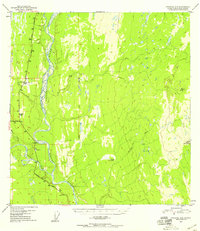
Tyone Village and the high-alpine Tangle Lakes anchor the northern reaches of this interior Alaskan landscape, where the Maclaren River and Gulkana River drain the southern slopes of the Alaska Range. By the late 1950s, the intersection of the Richardson Highway and Glenn Highway at Gakona Junction and Glennallen had established this region as a critical transportation hub. The map captures the transition from lowland lake basins to the massive volcanic peaks of the Wrangell Mountains, including the active Mount Wrangell and the prominent Mount Sanford. Along the Copper River, small settlements like Gakona and Chistochina appear alongside local landmarks such as Tazlina Lodge and Tazlina Cem, reflecting the early infrastructure of the Copper River Basin prior to mid-century expansion.
Find a feature on this map
81 named features on this map. Tap any name to fly to it.
Don’t see what you’re looking for? This feature index may not catch every label — zoom into the map to look around manually.
Map Details
Editions of this 1959 Gulkana Map
7 editions found

Other maps of this area
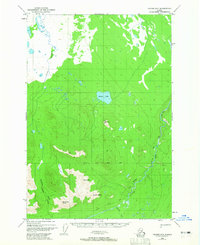
1948 · Tanacross A-6
USGS Topo · 1:63,360
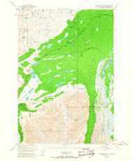
1948 · Nabesna C-6
USGS Topo · 1:63,360
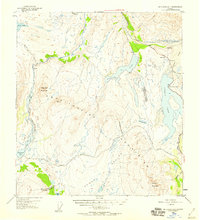
1948 · Valdez D-5
USGS Topo · 1:63,360
1948 · Anchorage D-1
USGS Topo · 1:63,360
1949 · Tanacross
USGS Topo · 1:250,000
1949 · Mount Hayes A-4
USGS Topo · 1:63,360
1949 · Gulkana A-3
USGS Topo · 1:63,360
1949 · Gulkana A-5
USGS Topo · 1:63,360
1949 · Talkeetna Mountains A-1
USGS Topo · 1:63,360
1949 · Gulkana C-2
USGS Topo · 1:63,360