
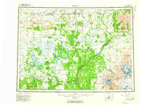
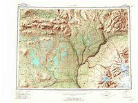
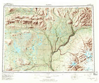
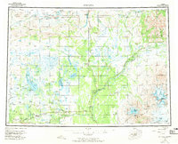
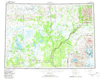
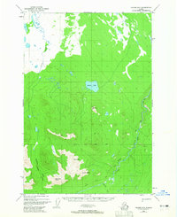
1959 Map of Gulkana
USGS Topo · Published 1986About this map
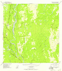
Tyone Village and the remote interior of the Matanuska-Susitna Borough anchor this landscape, where the confluence of major river systems once dictated the pace of travel and settlement. This territory was mapped as the modern infrastructure of the Trans-Alaska Pipeline and Pump Station 11 began to parallel the legacy routes of the Richardson Highway and Glenn Highway. These roads connected established hubs like Glennallen and Gakona Junction with outlying camps and lodges.
Find a feature on this map
90 named features on this map. Tap any name to fly to it.
Don’t see what you’re looking for? This feature index may not catch every label — zoom into the map to look around manually.
Map Details
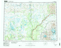
Editions of this 1959 Gulkana Map
7 editions found
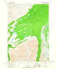
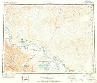
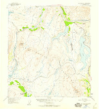
Other maps of this area
1948 · Tanacross A-6
USGS Topo · 1:63,360
1948 · Nabesna C-6
USGS Topo · 1:63,360
1948 · Valdez D-5
USGS Topo · 1:63,360
1948 · Anchorage D-1
USGS Topo · 1:63,360
1949 · Tanacross
USGS Topo · 1:250,000
1949 · Mount Hayes A-4
USGS Topo · 1:63,360
1949 · Gulkana A-3
USGS Topo · 1:63,360
1949 · Gulkana A-5
USGS Topo · 1:63,360
1949 · Talkeetna Mountains A-1
USGS Topo · 1:63,360
1949 · Gulkana C-2
USGS Topo · 1:63,360