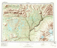
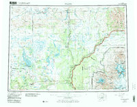
1959 Map of Gulkana
USGS Topo · Published 1969About this map
The Wrangell Mountains dominate the southeastern landscape of this interior Alaskan region, where massive peaks like Mount Sanford and Mount Drum give rise to the Sanford Glacier and Dadina Glacier. The map shows a critical intersection of Alaskan transportation history, centered on the confluence of the Gulkana River and the Copper River. Settlement is concentrated along the Richardson Highway, which runs north-south through Sourdough and Gulkana, and the Glenn Highway extending west from Gakona Junction.
Find a feature on this map
75 named features on this map. Tap any name to fly to it.
Don’t see what you’re looking for? This feature index may not catch every label — zoom into the map to look around manually.
Map Details
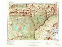
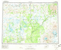
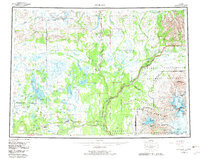
Editions of this 1959 Gulkana Map
7 editions found

Other maps of this area

1948 · Tanacross A-6
USGS Topo · 1:63,360

1948 · Nabesna C-6
USGS Topo · 1:63,360

1948 · Valdez D-5
USGS Topo · 1:63,360

1948 · Anchorage D-1
USGS Topo · 1:63,360

1949 · Tanacross
USGS Topo · 1:250,000

1949 · Mount Hayes A-4
USGS Topo · 1:63,360

1949 · Gulkana A-3
USGS Topo · 1:63,360

1949 · Gulkana A-5
USGS Topo · 1:63,360

1949 · Talkeetna Mountains A-1
USGS Topo · 1:63,360

1949 · Gulkana C-2
USGS Topo · 1:63,360