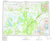
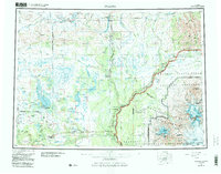
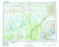
1959 Map of Gulkana
USGS Topo · Published 1982About this map
Glennallen and the junction of the Glenn Highway and Richardson Highway serve as the primary human hubs in this expansive subarctic region. The landscape is defined by the massive glacial systems and high peaks of the Wrangell-Saint Elias National Park, including the formidable Mount Sanford and Mount Drum. The corridor along the Copper River valley reveals a string of roadside settlements and lodges like Sourdough, Gakona Junction, and Tazlina Lodge, which supported travelers and early commerce. To the west, the remote Tyone Village stands near a complex network of lakes and wetlands in the Matanuska-Susitna Borough. Modern industrial infrastructure is represented by the Trans-Alaska Pipeline, which parallels the Richardson Highway, while the northern reaches feature the Tangle Lakes and the headwaters of the Gulkana River.
Find a feature on this map
146 named features on this map. Tap any name to fly to it.
Don’t see what you’re looking for? This feature index may not catch every label — zoom into the map to look around manually.
Map Details
Editions of this 1959 Gulkana Map
7 editions found

Other maps of this area

1948 · Tanacross A-6
USGS Topo · 1:63,360

1948 · Nabesna C-6
USGS Topo · 1:63,360

1948 · Valdez D-5
USGS Topo · 1:63,360

1948 · Anchorage D-1
USGS Topo · 1:63,360

1949 · Tanacross
USGS Topo · 1:250,000

1949 · Mount Hayes A-4
USGS Topo · 1:63,360

1949 · Gulkana A-3
USGS Topo · 1:63,360

1949 · Gulkana A-5
USGS Topo · 1:63,360

1949 · Talkeetna Mountains A-1
USGS Topo · 1:63,360

1949 · Gulkana C-2
USGS Topo · 1:63,360