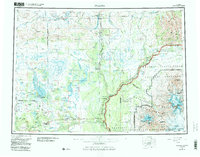
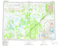
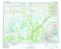
1959 Map of Gulkana
USGS Topo · Published 1986About this map
Tyone Village and the high-altitude lake systems of the Matanuska-Susitna Borough anchor this landscape during a period of expanding interior infrastructure. The intersection of the Richardson Highway and Glenn Highway at Glennallen marks a critical junction for travel between the Copper River basin and the Alaska Range. This 1950s-era survey captures the region just as federal land designations began to shift, showing the corridor before the full establishment of the Wrangell-Saint Elias National Park and Preserve. The map details a complex hydrologic network, from the Tangle Lakes in the north to the glacial outflows of the Mount Drum and Mount Sanford massifs. Historic lodges and roadhouses like Sinona Lodge and Sourdough appear alongside modern additions like Pump Station 11, illustrating the transition from early trail routes to modern industrial transport.
Find a feature on this map
66 named features on this map. Tap any name to fly to it.
Don’t see what you’re looking for? This feature index may not catch every label — zoom into the map to look around manually.
Map Details
Editions of this 1959 Gulkana Map
7 editions found

Other maps of this area

1948 · Tanacross A-6
USGS Topo · 1:63,360

1948 · Nabesna C-6
USGS Topo · 1:63,360

1948 · Valdez D-5
USGS Topo · 1:63,360

1948 · Anchorage D-1
USGS Topo · 1:63,360

1949 · Tanacross
USGS Topo · 1:250,000

1949 · Mount Hayes A-4
USGS Topo · 1:63,360

1949 · Gulkana A-3
USGS Topo · 1:63,360

1949 · Gulkana A-5
USGS Topo · 1:63,360

1949 · Talkeetna Mountains A-1
USGS Topo · 1:63,360

1949 · Gulkana C-2
USGS Topo · 1:63,360