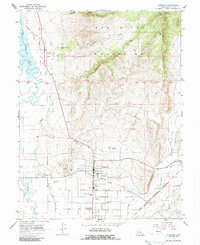
1966 Map of Gunnison
USGS Topo · Published 1987About this map
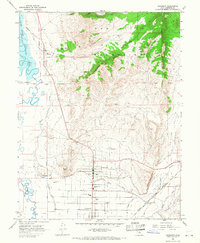
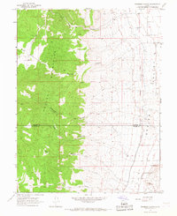
Gunnison and Centerfield anchor this mid-1960s survey of the Sanpete Valley, where the San Pitch River joins the Sevier River. The landscape is a complex network of agricultural irrigation, featuring the Gunnison Fayette Canal, City Ditch, and Highland Canal supporting the valley floor. To the east, the San Pitch Mountains rise sharply, marked by local landmarks like The Caterpillar and Chalk Hill.
Find a feature on this map
39 named features on this map. Tap any name to fly to it.
Don’t see what you’re looking for? This feature index may not catch every label — zoom into the map to look around manually.
Map Details
Editions of this 1966 Gunnison Map
2 editions found
Other maps of this area

1885 · Manti
USGS Topo · 1:250,000

1895 · Manti
USGS Topo · 1:250,000

1956 · Price
USGS Topo · 1:250,000

1960 · Price
USGS Topo · 1:250,000

1962 · Price
USGS Topo · 1:250,000
1965 · Hells Kitchen Canyon SW
USGS Topo · 1:24,000

1965 · Hells Kitchen Canyon SE
USGS Topo · 1:24,000
1965 · Mayfield
USGS Topo · 1:24,000

1965 · Manti
USGS Topo · 1:24,000
1966 · Redmond Canyon
USGS Topo · 1:24,000