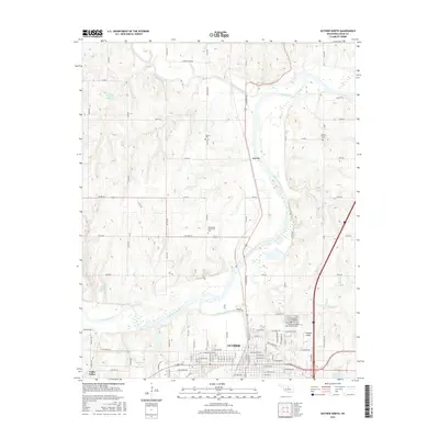
2016 Map of Guthrie North
USGS Topo · Published 2016About this map
The Cimarron River winds through the heart of this Logan County landscape, joined by tributaries like Skeleton Creek and Cottonwood Creek. The northern reaches of Guthrie are well-defined, showing the city's transition from an urban grid into the agricultural plains and wooded breaks characteristic of central Oklahoma. Several community burial grounds, including the Rosenwald Community Cem and Camp Russell Cem, offer significant points of interest for genealogists tracing local family histories. Near the settlement of Lawrie, the terrain is marked by reservoirs such as the Finn Creek Site 9 Reservoir, part of a broader water management system that includes the Taylor Mitchell Reservoir and Finn Creek Site 4 Reservoir. The infrastructure is a mix of section-line roads and specialized sites like Chappell Airport and Cedar Valley, reflecting the area's modern development around its historical river-valley roots.
Find a feature on this map
100 named features on this map. Tap any name to fly to it.
Don’t see what you’re looking for? This feature index may not catch every label — zoom into the map to look around manually.
Map Details
Editions of this 2016 Guthrie North Map
This is the sole edition of this map. No revisions or reprints were ever made.
Other maps of this area

1892 · Guthrie
USGS Topo · 1:62,500

1892 · Kingfisher
USGS Topo · 1:125,000

1893 · Mulhall
USGS Topo · 1:62,500

1893 · Lovell
USGS Topo · 1:62,500

1895 · Kingfisher
USGS Topo · 1:125,000

1954 · Oklahoma City
USGS Topo · 1:250,000

1955 · Enid
USGS Topo · 1:250,000

1957 · Oklahoma City
USGS Topo · 1:250,000

1958 · Enid
USGS Topo · 1:250,000

1963 · Oklahoma City
USGS Topo · 1:250,000