
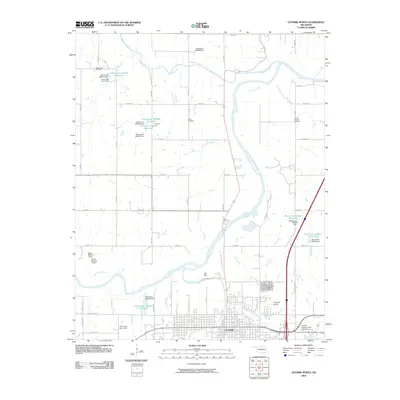
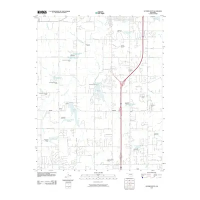
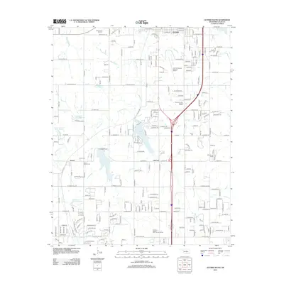
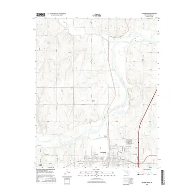
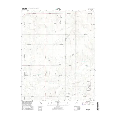
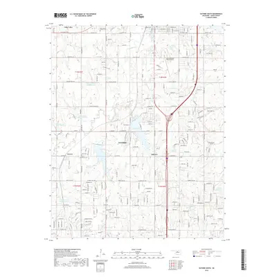
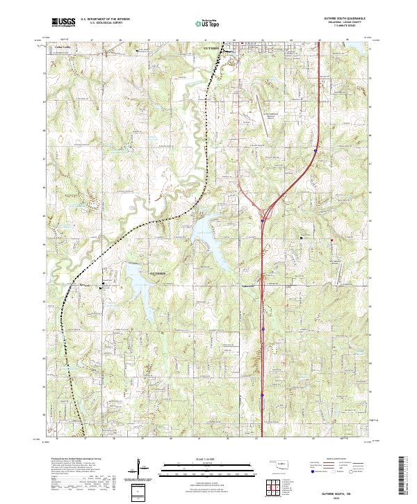
1970 Map of Guthrie South
USGS Topo · Published 1981About this map
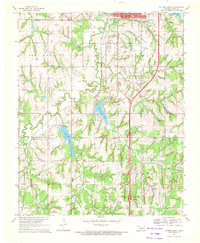
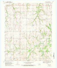
Guthrie and the surrounding Logan County landscape in 1970 reveal a region defined by the intersection of traditional agriculture and emerging infrastructure. This survey captures the southern edge of the city, including the Guthrie Corp Bdy and the Job Corps Center. The terrain is marked by the presence of the Southwest Gas and Pleasant Valley Oil Field and scattered Drill Holes, indicating the active petroleum industry that fueled the local economy.
Find a feature on this map
42 named features on this map. Tap any name to fly to it.
Don’t see what you’re looking for? This feature index may not catch every label — zoom into the map to look around manually.
Map Details
Editions of this 1970 Guthrie South Map
3 editions found
Historical Maps of Guthrie Through Time
37 maps found
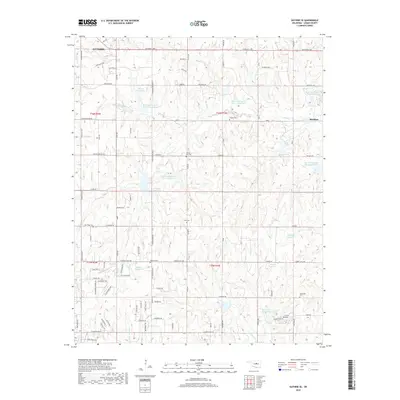
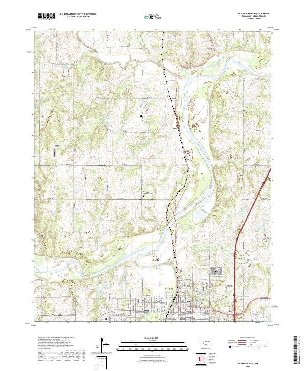
1970 Guthrie North
Logan County, OK
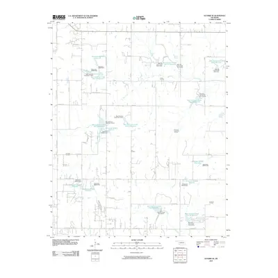
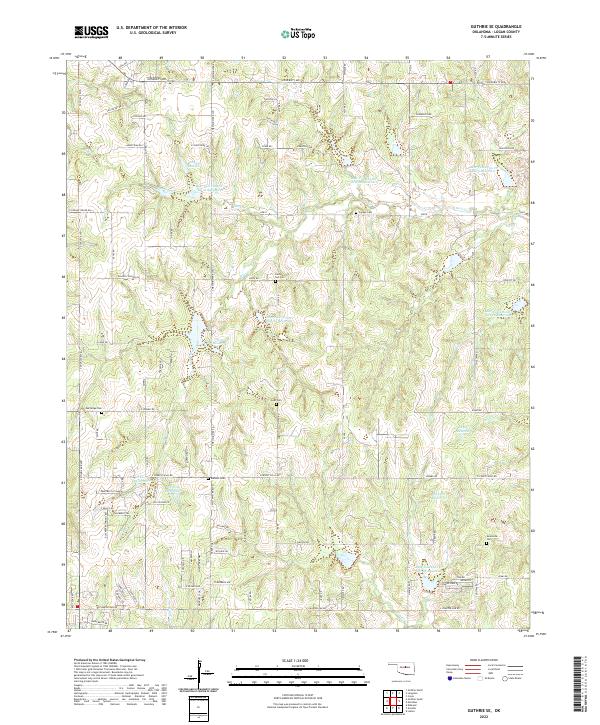
1970 Guthrie SE
Logan County, OK
1970 Guthrie South
Logan County, OK
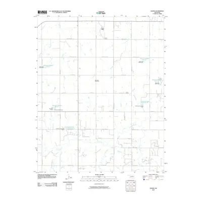
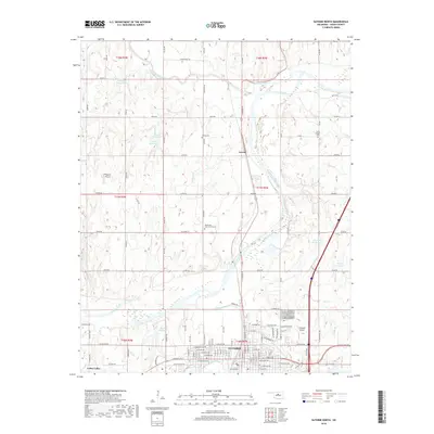
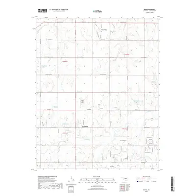
1970 Navina
Logan County, OK
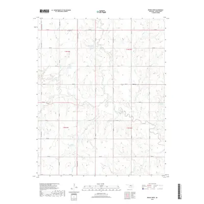
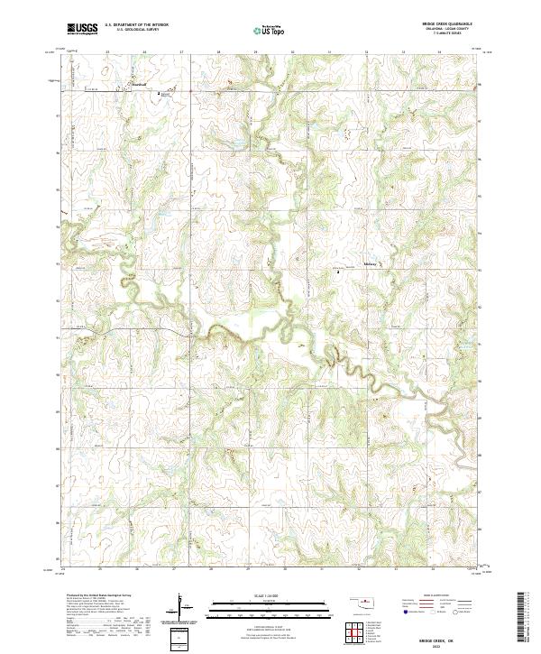
1974 Bridge Creek
Logan County, OK
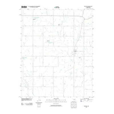
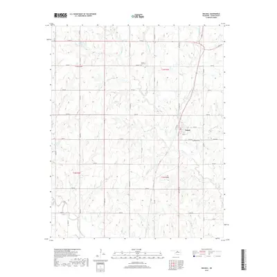
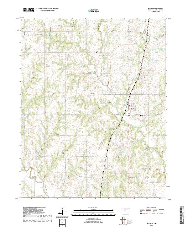
1974 Mulhall
Logan County, OK

1990 Oklahoma City North
Logan County, OK
2009 Bridge Creek
Logan County, OK
2009 Guthrie North
Logan County, OK
2009 Guthrie SE
Logan County, OK
2009 Mulhall
Logan County, OK
2009 Navina
Logan County, OK
2010 Guthrie South
Logan County, OK
2012 Bridge Creek
Logan County, OK
2012 Guthrie North
Logan County, OK
2012 Guthrie SE
Logan County, OK
2012 Guthrie South
Logan County, OK
2012 Mulhall
Logan County, OK
2012 Navina
Logan County, OK
2016 Bridge Creek
Logan County, OK
2016 Guthrie North
Logan County, OK
2016 Guthrie SE
Logan County, OK
2016 Guthrie South
Logan County, OK
2016 Mulhall
Logan County, OK
2016 Navina
Logan County, OK
2018 Bridge Creek
Logan County, OK
2018 Guthrie North
Logan County, OK
2018 Guthrie SE
Logan County, OK
2018 Guthrie South
Logan County, OK
2018 Mulhall
Logan County, OK
2018 Navina
Logan County, OK
2022 Bridge Creek
Logan County, OK
2022 Guthrie North
Logan County, OK
2022 Guthrie SE
Logan County, OK
2022 Guthrie South
Logan County, OK
2022 Mulhall
Logan County, OK
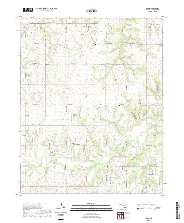
2022 Navina
Logan County, OK