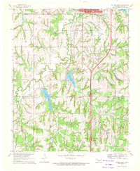
1970 Map of Guthrie South
USGS Topo · Published 1972About this map
The southern outskirts of Guthrie and the surrounding townships of Seward and Spring Valley are captured here in the early 1970s. This period shows a transition from rural agricultural land to organized infrastructure, evidenced by the Southwest Gas and Oil Field and the Guthrie Municipal Airport. Water management and recreation are central to the landscape, with Guthrie Lake and Liberty Lake providing major reservoirs, while smaller bodies like Country Club Lake serve local developments.
Find a feature on this map
36 named features on this map. Tap any name to fly to it.
Don’t see what you’re looking for? This feature index may not catch every label — zoom into the map to look around manually.
Map Details
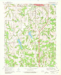
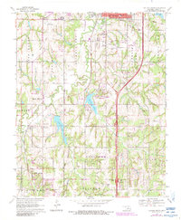
Editions of this 1970 Guthrie South Map
3 editions found
Other maps of this area

1892 · Guthrie
USGS Topo · 1:62,500

1892 · Edmond
USGS Topo · 1:62,500

1892 · Kingfisher
USGS Topo · 1:125,000

1895 · Kingfisher
USGS Topo · 1:125,000

1935 · Edmond
USGS Topo · 1:48,000

1940 · Edmond
USGS Topo · 1:62,500

1954 · Oklahoma City
USGS Topo · 1:250,000

1957 · Oklahoma City
USGS Topo · 1:250,000

1963 · Oklahoma City
USGS Topo · 1:250,000
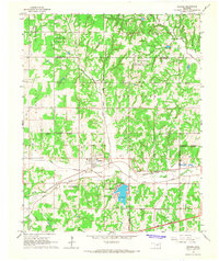
1966 · Arcadia
USGS Topo · 1:24,000