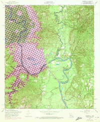
1954 Map of Haddens
USGS Topo · Published 1972About this map
The Sabine River meanders across the border of Louisiana and Texas, creating a complex landscape of oxbow lakes and wetlands such as Horseshoe Lake and Alligator Lake. This 1954 survey, updated with 1969 photogrammetric data, documents the region shortly before the character of the river valley was altered by the Toledo Bend Reservoir project. Purple revisions on the map delineate the projected Normal Pool Elevation 172, showing where the rising waters would eventually submerge features like Crossway Slough and Lake Lenore.
Find a feature on this map
45 named features on this map. Tap any name to fly to it.
Don’t see what you’re looking for? This feature index may not catch every label — zoom into the map to look around manually.
Map Details
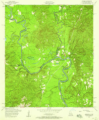
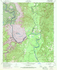
Editions of this 1954 Haddens Map
3 editions found
Other maps of this area

1941 · Leesville
USGS Topo · 1:62,500

1942 · Florien
USGS Topo · 1:62,500

1943 · Leesville
USGS Topo · 1:62,500

1944 · Negreet
USGS Topo · 1:62,500

1944 · Wiergate
USGS Topo · 1:62,500

1944 · Florien
USGS Topo · 1:62,500

1946 · Leesville
USGS Topo · 1:62,500

1948 · Leesville
USGS Topo · 1:62,500

1948 · Wiergate
USGS Topo · 1:62,500

1953 · Alexandria
USGS Topo · 1:250,000