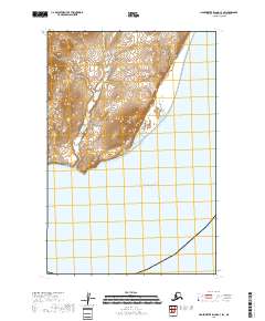
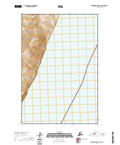
2018 Map of Hagemeister Island C-3 SW
USGS Topo · Published 2018About this map
The coastal waters of the Pacific Ocean dominate the southern portion of this landscape, meeting a coastline defined by steep elevations and detailed topographic contouring. Surveyed as part of the public land system, the terrain is structured by the boundaries of t18s r71w, t18s r70w, t19s r71w, and t19s r70w, marking the transition from the high ridges of the north to the marine environment below. The lack of named settlements or infrastructure reflects a maritime wilderness where the primary features are the natural relief and the vast expanse of the open sea.
Find a feature on this map
5 named features on this map. Tap any name to fly to it.
Don’t see what you’re looking for? This feature index may not catch every label — zoom into the map to look around manually.
Map Details
Editions of this 2018 Hagemeister Island C-3 SW Map
This is the sole edition of this map. No revisions or reprints were ever made.
Other maps of this area

1948 · Hagemeister Island C-4
USGS Topo · 1:63,360

1948 · Hagemeister Island C-3
USGS Topo · 1:63,360

1951 · Hagemeister Island
USGS Topo · 1:250,000

1952 · Hagemeister Island C-3
USGS Topo · 1:63,360

1952 · Hagemeister Island C-4
USGS Topo · 1:63,360

1957 · Hagemeister Island
USGS Topo · 1:250,000
2018 · Hagemeister Island C-4 SE
USGS Topo · 1:25,000
2018 · Hagemeister Island C-3 NW
USGS Topo · 1:25,000
2018 · Hagemeister Island C-4 NE
USGS Topo · 1:25,000
2018 · Hagemeister Island C-3 NE
USGS Topo · 1:25,000