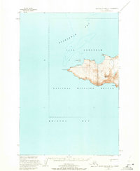
1947 Map of Hagemeister Island C-7
USGS Topo · Published 1972About this map
Cape Newenham forms a dramatic wedge between Kuskokwim Bay and Bristol Bay at this remote Alaskan headland. The land is largely defined by the Cape Newenham National Wildlife Refuge, where the terrain rises sharply from the sea to peaks like Jagged Mtn and Oracle Mtn. The presence of a Weather Station, a Landing Strip, and a lonely Cabin reflects the strategic and scientific importance of this coastal outpost during the mid-20th century. These small signs of human activity stand in contrast to the stark landscape, which includes offshore features like Bird Rock. The map illustrates the isolated nature of the Bering Sea coast before modern infrastructure reached most of western Alaska.
Find a feature on this map
11 named features on this map. Tap any name to fly to it.
Don’t see what you’re looking for? This feature index may not catch every label — zoom into the map to look around manually.
Map Details
Editions of this 1947 Hagemeister Island C-7 Map
This is the sole edition of this map. No revisions or reprints were ever made.
Other maps of this area

1948 · Hagemeister Island C-6
USGS Topo · 1:63,360

1950 · Hagemeister Island D-6
USGS Topo · 1:63,360

1951 · Hagemeister Island
USGS Topo · 1:250,000
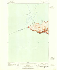
1952 · Hagemeister Island C-7
USGS Topo · 1:63,360

1952 · Hagemeister Island C-6
USGS Topo · 1:63,360

1957 · Hagemeister Island
USGS Topo · 1:250,000
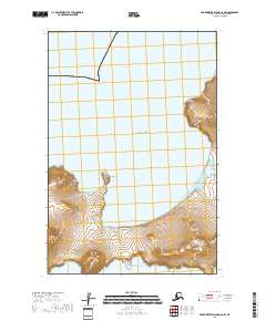
2018 · Hagemeister Island C-6 NW
USGS Topo · 1:25,000
2018 · Hagemeister Island D-6 SW
USGS Topo · 1:25,000
2018 · Hagemeister Island C-6 SW
USGS Topo · 1:25,000
2018 · Hagemeister Island C-7 SE
USGS Topo · 1:25,000