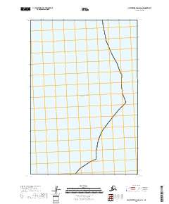
2018 Map of Hagemeister Island D-6 SW
USGS Topo · Published 2018About this map
Pacific Ocean waters dominate this coastal quadrangle along the remote shores of the Bethel Census Area. The map highlights the maritime environment and the administrative structure of the region through township and range boundaries such as t15s r75w and t16s r75w. This particular sheet emphasizes the expanse of the ocean just off the coast of Hagemeister Island, serving as a record of the shoreline and territorial divisions in the late 2010s. The lack of terrestrial settlements or landmarks underscores the area's isolation and its significance as a purely maritime and administrative landscape during this period of the 21st century.
Find a feature on this map
3 named features on this map. Tap any name to fly to it.
Don’t see what you’re looking for? This feature index may not catch every label — zoom into the map to look around manually.
Map Details
Editions of this 2018 Hagemeister Island D-6 SW Map
This is the sole edition of this map. No revisions or reprints were ever made.
Other maps of this area
1947 · Hagemeister Island C-7
USGS Topo · 1:63,360

1948 · Hagemeister Island C-6
USGS Topo · 1:63,360

1950 · Hagemeister Island D-6
USGS Topo · 1:63,360

1951 · Hagemeister Island
USGS Topo · 1:250,000
1952 · Hagemeister Island C-7
USGS Topo · 1:63,360

1952 · Hagemeister Island C-6
USGS Topo · 1:63,360

1957 · Hagemeister Island
USGS Topo · 1:250,000
2018 · Hagemeister Island C-6 NE
USGS Topo · 1:25,000
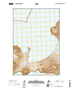
2018 · Hagemeister Island C-6 NW
USGS Topo · 1:25,000
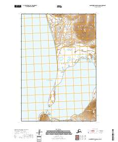
2018 · Hagemeister Island D-6 SE
USGS Topo · 1:25,000