
1912 Map of Hagerstown
USGS Topo · Published 1912About this map
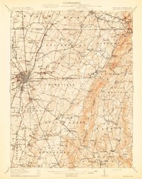
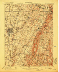
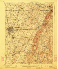
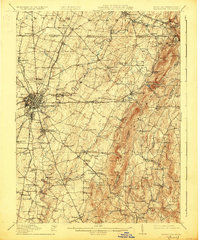
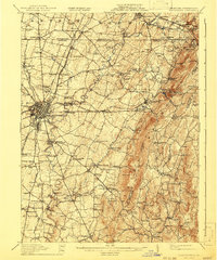
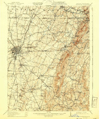
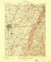
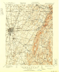
Hagerstown anchors this 1912 survey as a thriving transportation hub where the Cumberland Valley RR, Norfolk and Western RR, and Western Maryland RR converge. The landscape is defined by the steep elevation of South Mountain to the east and the winding courses of Conococheague Creek and Antietam Creek to the west. This era shows a dense network of rural infrastructure supporting the valley's agricultural economy, from grain processing at Strites Mill and Bowmans Mill to numerous neighborhood landmarks like the County Home. Smaller settlements such as Funkstown, Smithsburg, and Boonsboro are clearly established along the primary roads and rail lines. Researchers will find a high concentration of local institutions, including Miller Chapel and Paradise School, providing a detailed look at Maryland and Pennsylvania border society before the mid-century expansion of modern highways.
Find a feature on this map
158 named features on this map. Tap any name to fly to it.
Don’t see what you’re looking for? This feature index may not catch every label — zoom into the map to look around manually.
Map Details
Editions of this 1912 Hagerstown Map
9 editions found
Other maps of this area

1884 · Harpers Ferry
USGS Topo · 1:125,000

1891 · Harpers Ferry
USGS Topo · 1:125,000

1893 · Frederick
USGS Topo · 1:125,000

1893 · Harpers Ferry
USGS Topo · 1:125,000

1894 · Frederick
USGS Topo · 1:125,000

1900 · Mercersburg
USGS Topo · 1:62,500

1902 · Chambersburg
USGS Topo · 1:62,500

1902 · Mercersburg
USGS Topo · 1:62,500

1908 · Middletown
USGS Topo · 1:48,000

1908 · Ijamsville
USGS Topo · 1:62,500