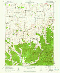
1961 Map of Hallsville
USGS Topo · Published 1962About this map
The Prairie occupies a distinct flatland in the northern reach of this quadrangle, a stark contrast to the heavily wooded elevations of Tar Hollow State Forest to the south. In the early 1960s, this portion of Ross and Pickaway Counties maintained a primarily agrarian character, evidenced by the numerous family-named burial grounds like Throckmorton Cem and Hickle Cem that dot the landscape. The small village of Hallsville serves as a central hub, while the village of Adelphi sits at the eastern edge where Salt Creek begins its winding course southward. The terrain transitions sharply from the open fields near Whisler into the steep, hollow-carved ridges of Brush Ridge. This survey documents a quiet rural network of church-centered communities, including Colerain Ch and Union Chapel, connected by roads such as the Kingston Hallsville Pike.
Find a feature on this map
49 named features on this map. Tap any name to fly to it.
Don’t see what you’re looking for? This feature index may not catch every label — zoom into the map to look around manually.
Map Details
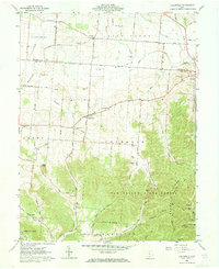
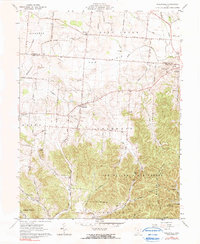
Editions of this 1961 Hallsville Map
Other maps of this area

1906 · Chillicothe
USGS Topo · 1:62,500

1907 · Lancaster
USGS Topo · 1:62,500

1908 · Chillicothe
USGS Topo · 1:62,500

1909 · Lancaster
USGS Topo · 1:62,500

1910 · Laurelville
USGS Topo · 1:62,500

1912 · Laurelville
USGS Topo · 1:62,500

1914 · Circleville
USGS Topo · 1:62,500

1943 · Circleville
USGS Topo · 1:62,500

1944 · Laurelville
USGS Topo · 1:62,500

1947 · Columbus
USGS Topo · 1:250,000